Sierra Helada: how to hike the headland between Benidorm and Albir
Updated October 18, 2026 · 6 min read
The answer first. You do not need to cross the whole Serra Gelada to enjoy it. From Benidorm, walk to La Creu for the skyline view or follow the coast towards Torre de les Caletes. From Albir, the lighthouse path is the gentler choice. The ridge crossing between the two ends is a serious, exposed hike and should not be treated as a beach-day stroll.
Three outings with very different demands
La Creu de Benidorm is the simplest local objective. The final approach climbs, but the reward is a broad view over Benidorm’s bays and towers. It works well for a short morning or late-afternoon outing, provided you still carry water and avoid the strongest heat.
The path from the Levante side towards Torre de les Caletes stays closer to the sea and historic watchtower. Surfaces and gradients vary, so it is not a promise of step-free access. Turn around when the heat, footing or remaining daylight says you should; there is no prize for forcing a circular route.
At the northern end, the official red itinerary reaches the Faro de l’Albir and its interpretation centre. The park describes this as one of its more accessible areas. That is a comparison with the rugged ridge, not a guarantee for every wheelchair or pushchair. Confirm current access with the park if step-free travel matters.
The full crossing is not the default choice
The yellow traverse runs over the Serra Gelada between Albir and Benidorm. It involves repeated climbing and descending, exposed ground and little useful shade. You also finish at a different place from where you began, so transport is part of the plan.
Choose it only if your group is comfortable with sustained hill walking and navigation. Start early, check the park’s current notices and weather, and carry enough water for the complete route. After rain, in high wind or during extreme heat, select one of the shorter out-and-back walks instead. Trainers chosen for the promenade are a poor substitute for footwear with grip.
How to reach the trailheads
The Benidorm side can be reached on foot or by local taxi, depending on your accommodation. Albir is connected to Benidorm by public transport, but timetables change; check the same-day planner before building a one-way traverse around the last service.
A car is useful if the lighthouse is one stop in a wider Costa Blanca day, but it is not necessary for a simple walk. Parking at popular access points can fill. If you do drive, compare car hire for Benidorm only after deciding that public transport will not fit your route.
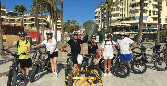
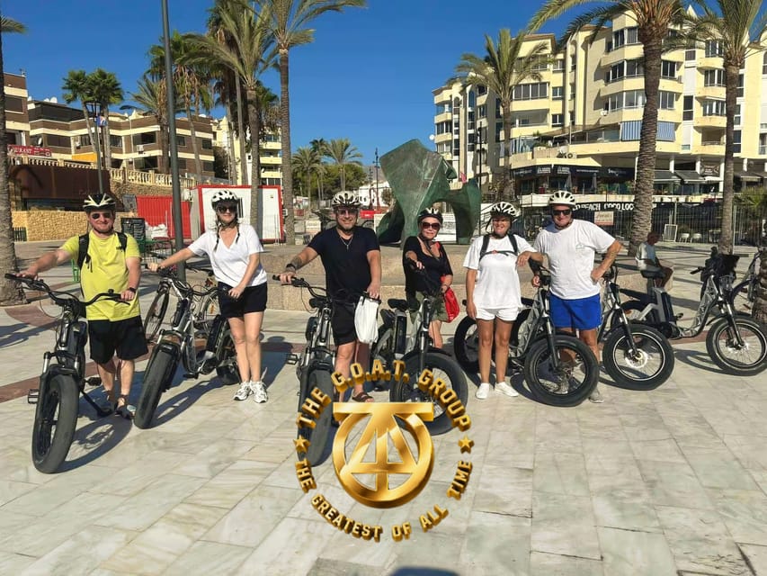
For a lower-effort way to see the coast towards Albir, the Albir and Altea e-bike outing provides a guided alternative. It is not the ridge crossing, so book it for coastal scenery rather than for a summit hike.
What to carry and what to skip
Take water, sun protection, a charged phone and a downloaded map. There are services in the towns, not reliably along the exposed ridge. Do not depend on a café or water point being open. Dogs, bikes and organised activities may be subject to park rules, so consult the official Serra Gelada information before setting out.
For most visitors, La Creu or the Albir lighthouse gives the best balance of view and effort. Save the complete traverse for a dedicated hiking day. For other guided options beyond the seafront, compare adventure tours in Benidorm.